
West Hampton Dunes Map
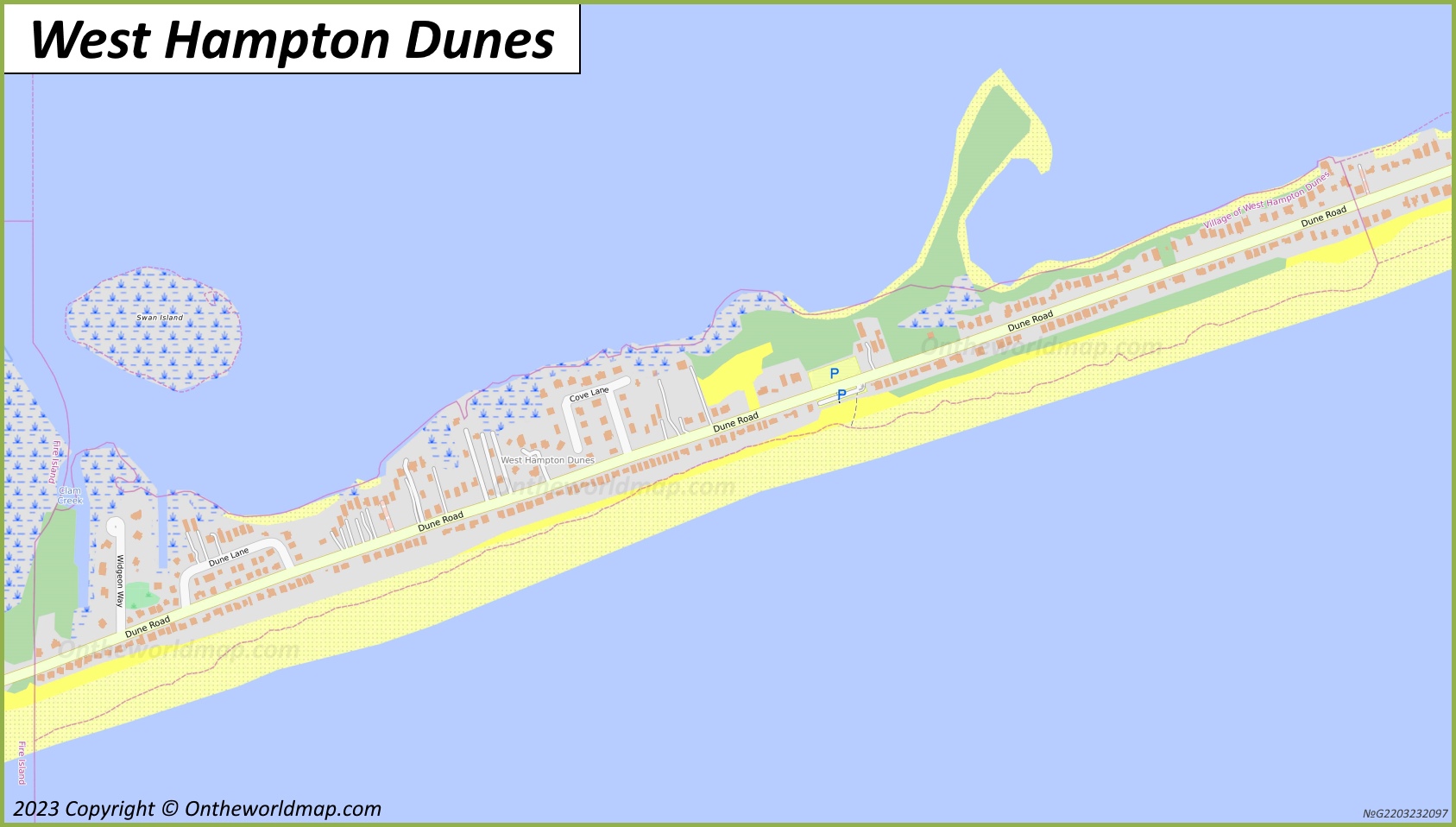
Description:
This map shows streets, roads, trails, beaches, parking lots, and parks in West Hampton Dunes.
Size: 1687x958px / 303 Kb
Author: Ontheworldmap.com
Map based on the free editable OSM map openstreetmap.org.
You may download, print or use the above map for educational, personal and non-commercial purposes. Attribution is required. For any website, blog, scientific research or e-book, you must place a hyperlink (to this page) with an attribution next to the image used.
West Hampton Dunes Location On The Long Island Map
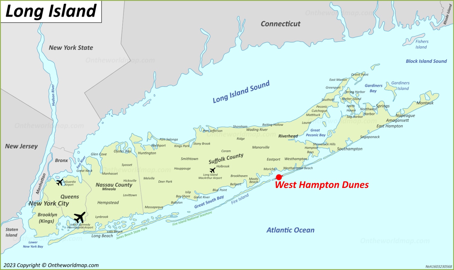
Description:
This map shows where West Hampton Dunes is located on Long Island.
Size: 1500x895px / 279 Kb
Author: Ontheworldmap.com
You may download, print or use the above map for educational, personal and non-commercial purposes. Attribution is required. For any website, blog, scientific research or e-book, you must place a hyperlink (to this page) with an attribution next to the image used.
West Hampton Dunes Location On The New York State Map
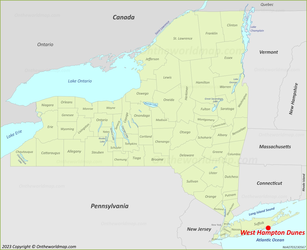
Description:
This map shows where West Hampton Dunes is located in New York State.
Size: 1250x1017px / 234 Kb
Author: Ontheworldmap.com
You may download, print or use the above map for educational, personal and non-commercial purposes. Attribution is required. For any website, blog, scientific research or e-book, you must place a hyperlink (to this page) with an attribution next to the image used.
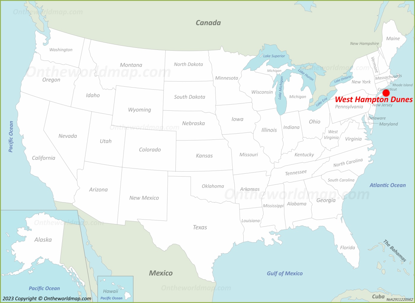
Online Map of West Hampton Dunes


About West Hampton Dunes
West Hampton Dunes is a village in the town of Southampton, Suffolk County, New York, United States. It is located on a barrier island along the southern shore of Long Island, between Moriches Bay and the Atlantic Ocean.
The Facts:| State: | New York |
| County: | Suffolk |
| Island: | Westhampton Island, Long Island |
| Town: | Southampton |
| Population: | ~ 150 |
| Density: | 402.9/sq mi (155.55/sq km) |
| Area: | 0.37 sq mi (0.95 sq km) |
| Coordinates: | 40°46′30″N 72°43′3″W |
| ZIP Codes: | 11978 |
| Area code(s): | 631, 934 |
| FIPS code: | 36-80186 |
| GNIS feature ID: | 0979943 |
| Official Website: | whdunes.gov |
The village was incorporated in 1993.
As of the 2020 United States Census, the population was 126, making it one of the least populous incorporated villages in New York State. The total area of the village is approximately 0.37 square miles, a significant portion of which is water.
West Hampton Dunes was established largely in response to severe coastal erosion. A major nor'easter in December 1992 destroyed numerous homes along the barrier island, and residents incorporated the village in order to gain greater control over rebuilding and shoreline protection efforts. Subsequent litigation against state and federal authorities led to a 1994 settlement that required the U.S. Army Corps of Engineers to undertake extensive beach renourishment and dune restoration projects along the shoreline.
The village is served by the ZIP code 11978 and lies adjacent to the hamlet of Westhampton Beach. Access to the mainland is provided primarily via the Dune Road corridor.
U.S. Maps
Cities of USA
States of USA
States of USA