
Kabul Map

Description:
This map shows neighborhoods, streets, roads, rivers, buildings, airport, peaks, and parks in Kabul.
Size: 2169x1661px / 2.15 Mb
Author: Ontheworldmap.com
Map based on the free editable OSM map openstreetmap.org.
You may download, print or use the above map for educational, personal and non-commercial purposes. Attribution is required. For any website, blog, scientific research or e-book, you must place a hyperlink (to this page) with an attribution next to the image used.

Description:
This map shows streets, trails, houses, buildings, cafes, bars, restaurants, hotels, restrooms, monuments, hospitals, shops, mosques, points of interest, and parks in Kabul City Center.
Size: 3010x2356px / 2.92 Mb
Author: Ontheworldmap.com
Map based on the free editable OSM map openstreetmap.org.
You may download, print or use the above map for educational, personal and non-commercial purposes. Attribution is required. For any website, blog, scientific research or e-book, you must place a hyperlink (to this page) with an attribution next to the image used.
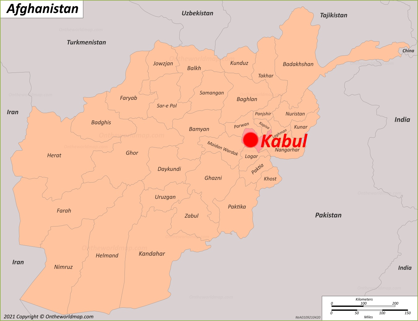
Online Map of Kabul
About Kabul
Kabul is the capital and largest city of Afghanistan. It lies in the eastern part of the country and is also the administrative center of Kabul Province. The city sits in a narrow valley between the Hindu Kush mountains, along the Kabul River, at an elevation of about 1,790 metres (5,873 ft). Its population is estimated at more than four million, which makes it Afghanistan's main political, cultural and economic center.
The Facts:| Province: | Kabul |
| Population (2025): | 5,333,284 |
| Density: | 00000/sq mi (00000/sq km) |
| Area: | 33,500 sq mi (12,920 sq km) |
| Coordinates: | 34°31′31″N 69°10′42″E |
| Postal code: | 10XX |
| Area code(s): | (+93) 20 |
| Area code(s): | AF-KBL |
The city's history goes back more than 3,000 years. Over the centuries it was ruled by the Achaemenid, Seleucid, Maurya and Kushan empires, and later by the Kabul Shahi dynasties. In the early 16th century Babur, founder of the Mughal Empire, made Kabul his capital before he conquered northern India. He is buried in the city, in the gardens known as Bagh-e Babur. In 1776 Timur Shah Durrani moved the capital of the Durrani Empire from Kandahar to Kabul. British forces occupied the city during the First Anglo-Afghan War (1839–1842) and again during the Second Anglo-Afghan War (1878–1880).
Much of Kabul was destroyed in the civil war of 1992–1996. The Taliban took the city in 1996 and lost it after the US-led invasion in 2001. They took control again on 15 August 2021.
Kabul has a cold semi-arid climate, with cold, snowy winters and hot, dry summers. Most of the city's rain and snow falls between winter and spring.
Notable landmarks include the National Museum of Afghanistan, Darul Aman Palace, the Bala Hissar fortress, the Id Gah Mosque and the Shah-Do Shamshira Mosque. Kabul University, founded in 1931, is the country's oldest university. Kabul International Airport is the main air gateway to the city. Dari and Pashto are the most widely spoken languages.
Main sights in Kabul
- Bala Hissar
- Gardens of Babur (Bagh-e Babur)
- Darul Aman Palace
- National Museum of Afghanistan
- Arg (Presidential Palace)
- Shah-Do Shamshira Mosque
- Abdul Rahman Mosque
- Pul-e Khishti Mosque
- Mausoleum of Timur Shah Durrani
- Mausoleum of Nadir Shah
- Bagh-e Zarnegar and Tomb of Abdur Rahman Khan
- Ziarat-e Sakhi Shrine
- Kabul City Walls
- Bagh-e Bala Palace
- Kabul Zoo
- Qargha Lake
Maps of Afghanistan
Cities of Afghanistan