
Roosevelt Island Map

Description:
This map shows streets, houses, buildings, cafes, bars, restaurants, hotels, monuments, parking lots, shops, churches, restrooms, playgrounds, viewpoints, points of interest, and parks on Roosevelt Island.
Size: 2305x3195px / 3.41 Mb
Author: Ontheworldmap.com
Map based on the free editable OSM map openstreetmap.org.
You may download, print or use the above map for educational, personal and non-commercial purposes. Attribution is required. For any website, blog, scientific research or e-book, you must place a hyperlink (to this page) with an attribution next to the image used.
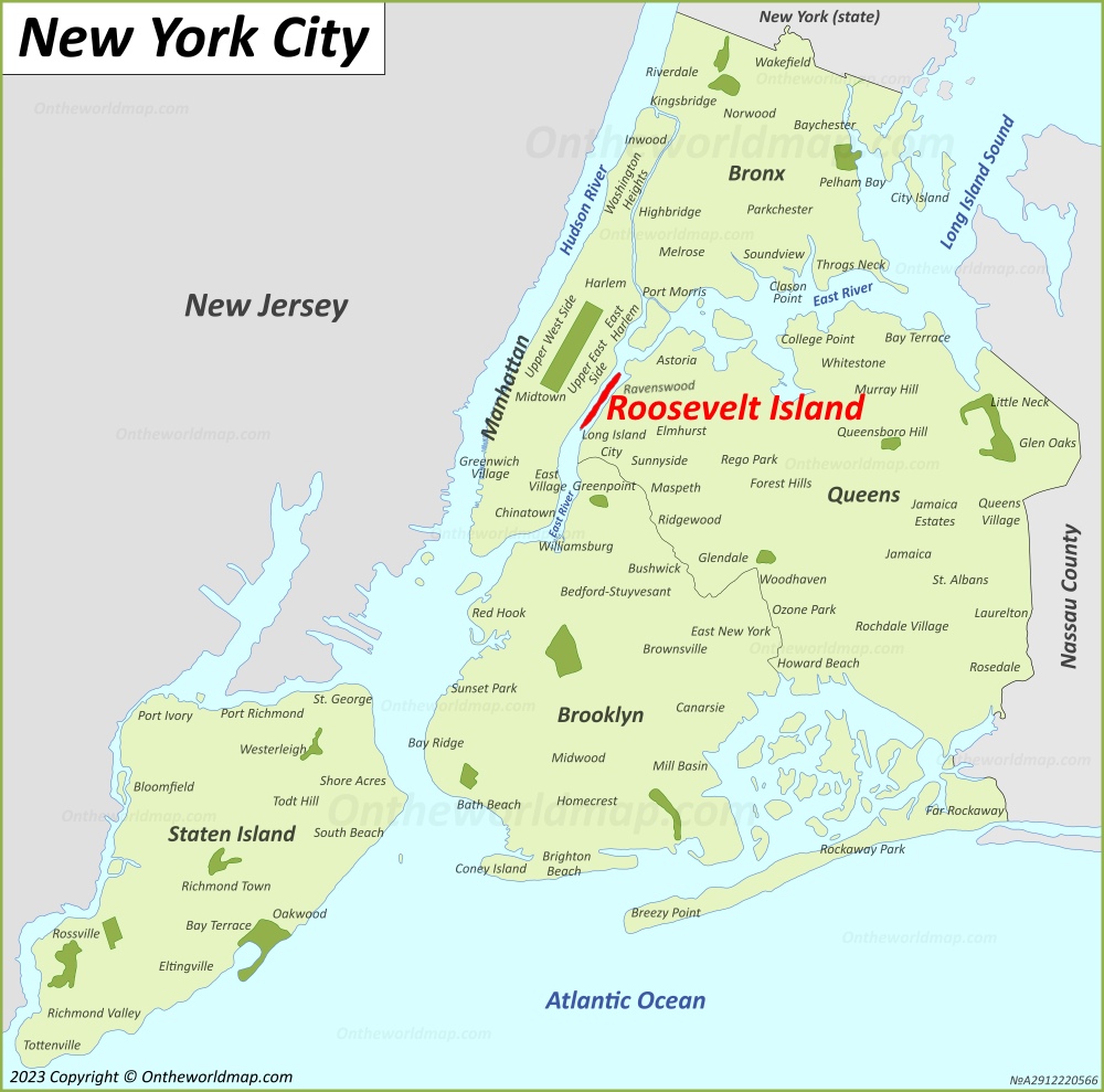
Description:
This map shows where Roosevelt Island is located on the New York City Map.
Size: 1000x989px / 262 Kb
Author: Ontheworldmap.com
You may download, print or use the above map for educational, personal and non-commercial purposes. Attribution is required. For any website, blog, scientific research or e-book, you must place a hyperlink (to this page) with an attribution next to the image used.
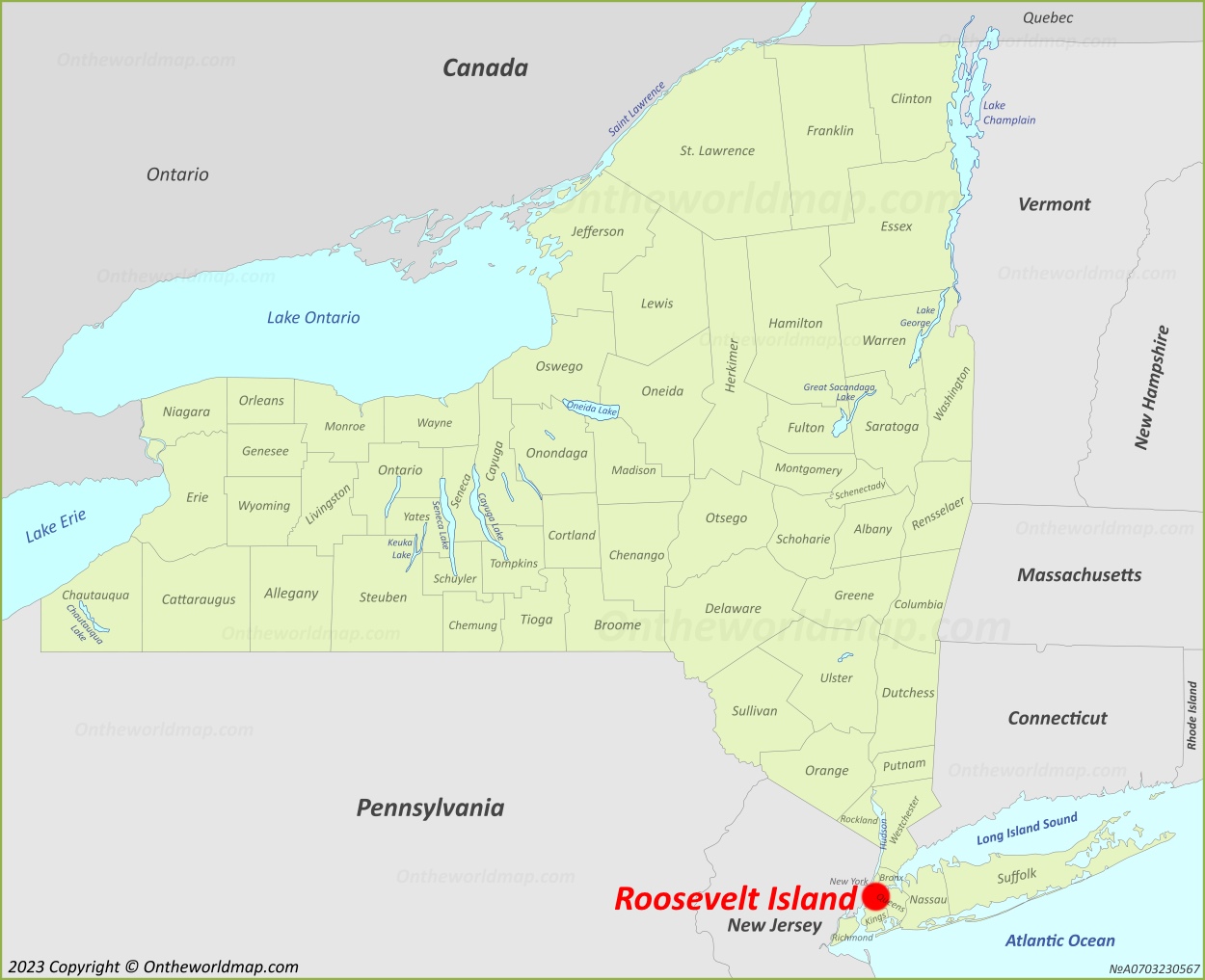
Description:
This map shows where Roosevelt Island is located on the New York State Map.
Size: 1250x1017px / 235 Kb
Author: Ontheworldmap.com
You may download, print or use the above map for educational, personal and non-commercial purposes. Attribution is required. For any website, blog, scientific research or e-book, you must place a hyperlink (to this page) with an attribution next to the image used.

Online Map of Roosevelt Island


About Roosevelt Island
Roosevelt Island is a narrow island in the East River between Manhattan and Queens and is administratively part of Manhattan. It is about 2 miles (3.2 km) long, with a maximum width of about 800 feet (240 m), and covers 147 acres (59 ha). The island has been known as Blackwell's Island (after the Blackwell family, who owned it from 1686), Welfare Island (from 1921) and, since 1973, Roosevelt Island, in honor of President Franklin D. Roosevelt.
In the 19th and early 20th centuries the city used the island for institutions such as a penitentiary, the New York City Lunatic Asylum and the Smallpox Hospital, designed by James Renwick Jr. and opened in 1856. In 1887 journalist Nellie Bly feigned insanity to enter the asylum and published her account as Ten Days in a Mad-House. The asylum's Octagon building and the ruins of the Smallpox Hospital survive.
In 1969, the island was leased to New York State for residential development based on a master plan by Philip Johnson and John Burgee. It is now managed by the state-run Roosevelt Island Operating Corporation and has a population of about 12,000. The Roosevelt Island Tramway, an aerial tramway to Manhattan, opened in 1976. The island also has a station on the F subway line, which opened in 1989.
Franklin D. Roosevelt Four Freedoms State Park, designed by Louis Kahn, opened at the island's southern tip in 2012. In 2017, Cornell Tech, a graduate campus of Cornell University, opened on the southern part of the island.
The Facts:
State: New York.
City: New York City.
Borough: Manhattan.
Population: ~ 12,000.
Area: 0.23 sq mi (0.6 sq km).
U.S. Maps
Cities of USA
States of USA
States of USA