
Liberty Island Map
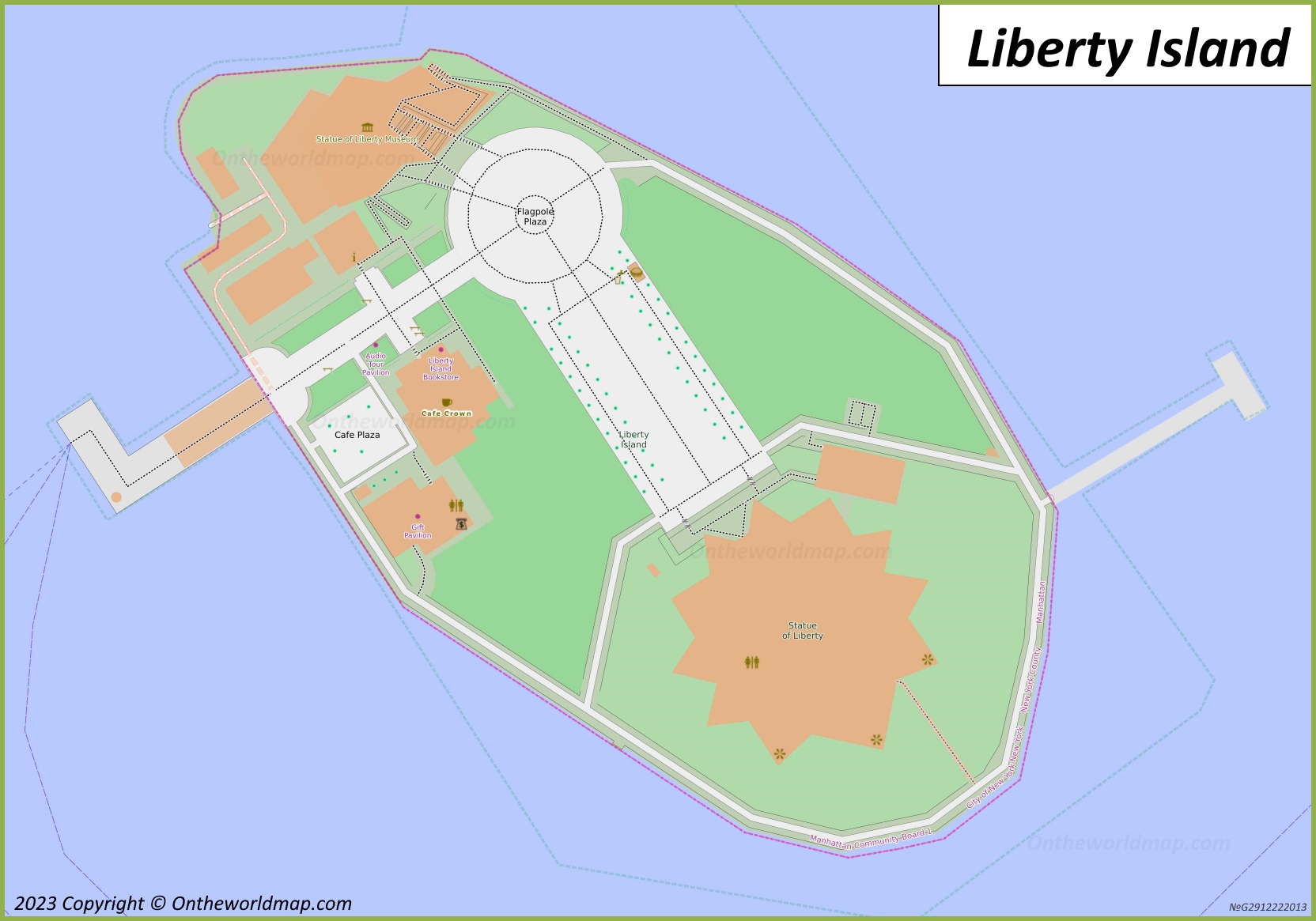
Description:
This map shows trails, pier, buildings, monuments, museums, restrooms, viewpoints, shops, points of interest, and parks on Liberty Island.
Size: 1664x1165px / 326 Kb
Author: Ontheworldmap.com
Map based on the free editable OSM map openstreetmap.org.
You may download, print or use the above map for educational, personal and non-commercial purposes. Attribution is required. For any website, blog, scientific research or e-book, you must place a hyperlink (to this page) with an attribution next to the image used.

Description:
This map shows where Liberty Island is located on the New York City Map.
Size: 1000x989px / 261 Kb
Author: Ontheworldmap.com
About Liberty Island
Liberty Island is a federally owned island in Upper New York Bay and the site of the Statue of Liberty. It covers about 14.7 acres (5.9 ha). The island was formerly known as Bedloe's Island, after Isaac Bedloe, a 17th-century owner, and was officially renamed Liberty Island by the United States Congress in 1956. Although it lies in New Jersey waters, it is an exclave of New York under an 1834 interstate compact.
The Statue of Liberty was a gift from the people of France to the United States. It was designed by the sculptor Frédéric Auguste Bartholdi, and its internal iron framework was engineered by Gustave Eiffel. The statue was dedicated on October 28, 1886. Its pedestal stands within the walls of Fort Wood, a star-shaped fortification completed in the early 19th century. The statue is 151 feet (46 m) tall, and the distance from the ground to the tip of the torch is 305 feet (93 m).
The statue was declared a National Monument in 1924 and is administered by the National Park Service. Since 1984 it has been a UNESCO World Heritage Site. The Statue of Liberty Museum opened on the island in 2019 and displays the statue's original torch. Liberty Island is reachable only by ferry, which departs from Battery Park in Manhattan and Liberty State Park in Jersey City.
You may download, print or use the above map for educational, personal and non-commercial purposes. Attribution is required. For any website, blog, scientific research or e-book, you must place a hyperlink (to this page) with an attribution next to the image used.
U.S. Maps
Cities of USA
States of USA
States of USA